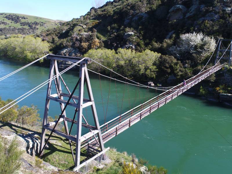
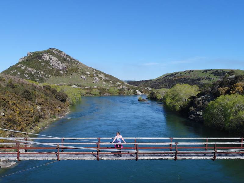
Well worth a visit or a picnic outing, the Horseshoe Bend Bridge, 70.2 metres long, spanning New Zealand’s largest river, is one of the more substantial and impressive footbridges in the country. Of the countless suspension bridges built from 1842 to the 30’s few remain. For the early settlers a major problem was the safe crossing of New Zealand’s numerous rivers. The commonest cause of death in the early period was from drowning, mostly in rivers.
Gabriel Read made his famous discovery of gold at Tuapeka near Lawrence in 1861, and after the announcement in the Otago Daily Times in August 1862 of Hartley and Reilly’s sensational find in the Dunstan Gorge there was feverish activity as hundreds moved upriver. Both sides of the river were prospected and gold was discovered in many sites in the Teviot area, one being Horseshoe Bend, where the population in1865 numbered several hundred. Gold mining continued here to the early 1900’s by which time the population had dropped to about 3 0.
The Horseshoe Bend community had to cross the river by punt or by an arrangement of a chair attached to a manually hauled cable, particularly scary for children attending school at Raes Junction. Though the community agitated for many years for a bridge to be built, this did not happen till 1913.
Restored in 2003, the bridge stands as a reminder of the former community at Horseshoe Bend, a visually impressive structure that contributes to the surrounding landscape.
Walks
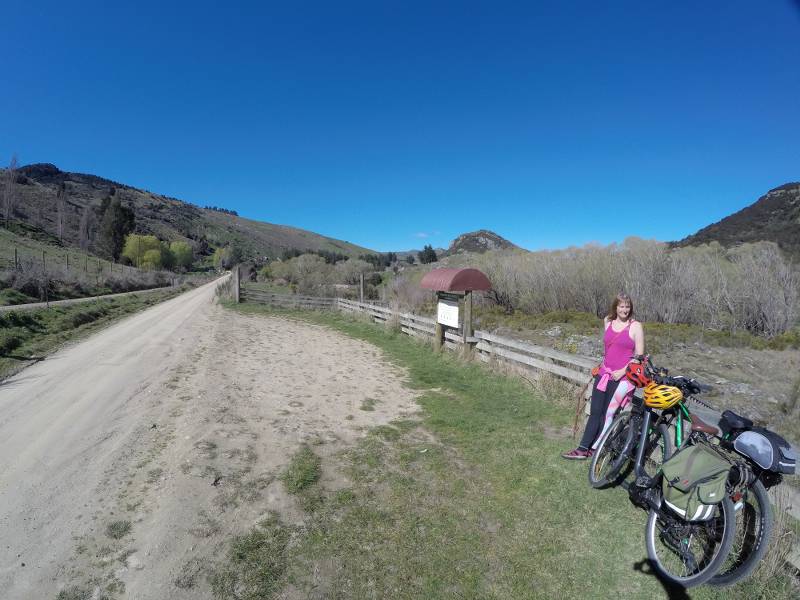
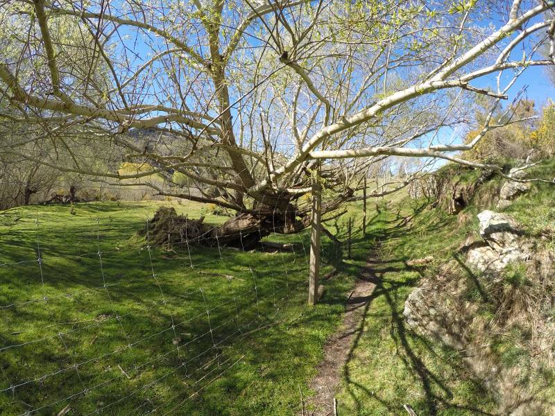
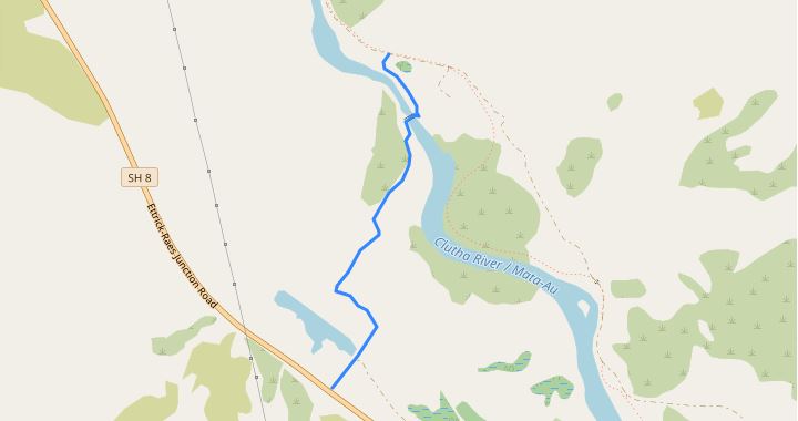
8km downriver from Millers Flat and a 10 minute stroll downriver from the car park to the bridge. Or you can carry on for another 30mins and come out on State Highway 8. See the map and video map below to see the full walk. If you’re on a bike you’ll need to go down the road a bit till you see the gate, go through there. Don’t try and lift your bike over the fence, its not good for the fence or you!
Horseshoe Bend Bridge and the Lonely Graves both accessed from Clutha Gold Trail and Beaumont Millenium Track – the latter is fine for cars over the summer months, but unsuitable for camper vans towards the Beaumont end due to a couple of narrow bridges. There are other attractive picnic spots along the river, particularly at the Beaumont end.


